Travel
GANDIKOTA: WHERE THE RIVER CARVED A KINGDOM IN STONE
Admin
Author
October 31, 2026
3 min read
1 views
A Fort Above the Gorge
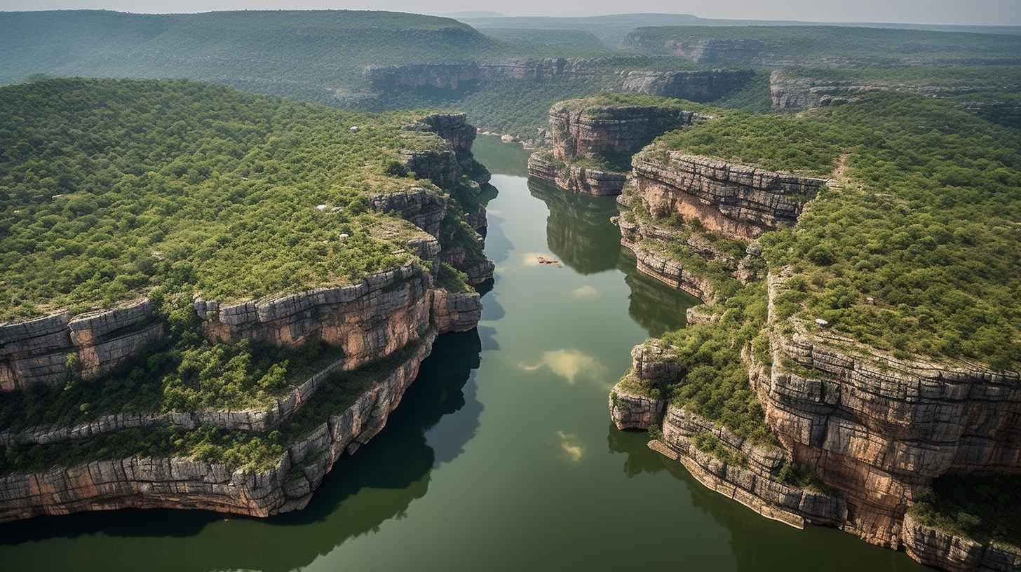
Located in the Kadapa district of Andhra Pradesh, Gandikota is a historic settlement known for its imposing fort and the spectacular gorge formed by the Pennar River. The name comes from two Telugu words: Gandi, meaning gorge, and Kota, meaning fort. Together, they describe the defining features of this remarkable landscape.
The fort stands on elevated ground overlooking the river, where the waters of the Pennar have gradually carved their way through the rugged Erramala hills. The resulting gorge, with its steep rocky walls and striking geological formations, has earned Gandikota the popular title of the “Grand Canyon of India”.
Beyond its natural setting, Gandikota has a long and layered history. The region came under the influence of several ruling powers, including the Kakatiyas, Pemmasani Nayakas, Vijayanagara rulers and the Qutb Shahi dynasty. Its fortifications and surviving monuments reflect the different periods that shaped the region.
Today, Gandikota is recognised for the unusual way its natural landscape and historical structures exist side by side, making it an important part of Andhra Pradesh's heritage.
1. THE GORGE THAT TIME CARVED
Where the river writes its story through stone
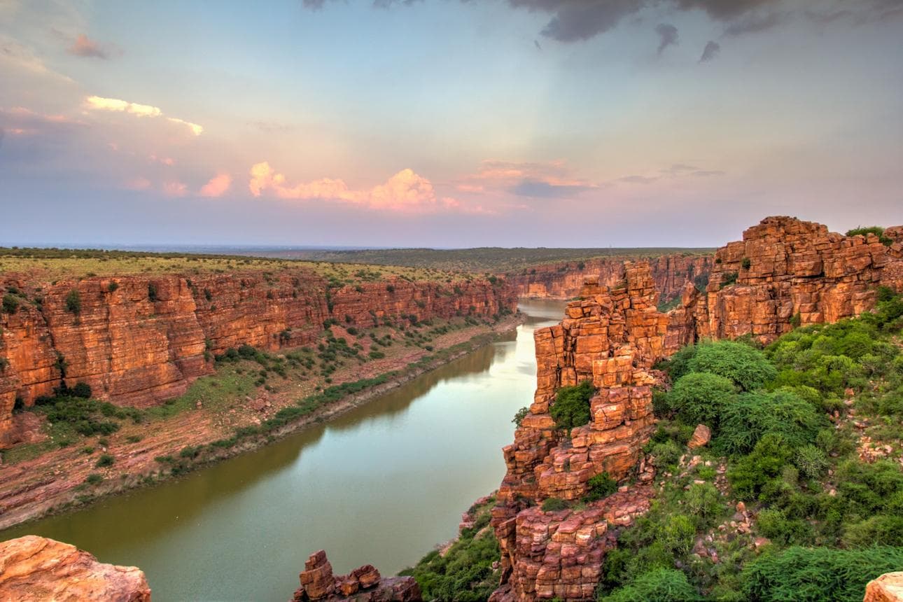
The most striking feature of Gandikota is the deep gorge formed by the Pennar River as it flows through the Erramala hill range. Over long periods, the river has shaped the surrounding rock, creating steep cliffs, narrow passages and an expansive rocky valley.
The exposed geological formations reveal layers of sedimentary rock, including the distinctive Gandikota quartzite. Their reddish and earthy tones change with the movement of sunlight, giving the gorge a different appearance throughout the day.
From the fort's viewpoints, the river can be seen winding through the rocky landscape below. The contrast between the rugged cliffs and the flowing water creates one of the region's most recognisable natural scenes.
The gorge is more than a visual landmark. It represents the geological processes that have shaped the Pennar basin over time. Protecting its fragile surroundings from littering, uncontrolled construction and careless visitor activity is essential to preserving this distinctive landscape.
THE GORGE THAT TIME CARVED
Where the river writes its story through stone
The most striking feature of Gandikota is the deep gorge formed by the Pennar River as it flows through the Erramala hill range. Over long periods, the river has shaped the surrounding rock, creating steep cliffs, narrow passages and an expansive rocky valley.
The exposed geological formations reveal layers of sedimentary rock, including the distinctive Gandikota quartzite. Their reddish and earthy tones change with the movement of sunlight, giving the gorge a different appearance throughout the day.
From the fort's viewpoints, the river can be seen winding through the rocky landscape below. The contrast between the rugged cliffs and the flowing water creates one of the region's most recognisable natural scenes.
The gorge is more than a visual landmark. It represents the geological processes that have shaped the Pennar basin over time. Protecting its fragile surroundings from littering, uncontrolled construction and careless visitor activity is essential to preserving this distinctive landscape.
THE FORT THAT WITNESSED DYNASTIES
Where centuries remain etched in stone
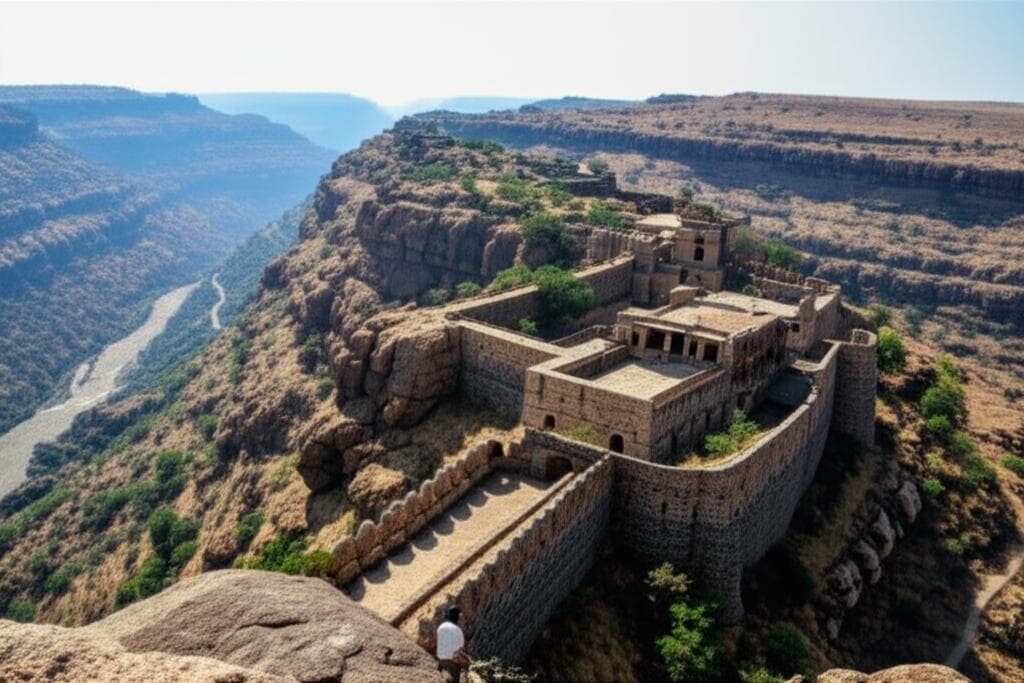
Gandikota Fort is among the most significant historical structures in the Kadapa region. Historical accounts trace the fort's origins to the medieval period, although sources differ on its precise foundation date. It gained prominence under the Kakatiyas and later became an important stronghold of the Pemmasani Nayakas.
Its strategic position above the Pennar gorge made it a naturally defended settlement. Massive stone walls, gateways and bastions formed part of its defensive system, while buildings within the fort served administrative, military and everyday functions.
Among its surviving structures are the granary, pigeon tower and the remains of a palace. The Mini Charminar, associated with the Qutb Shahi period, adds another architectural layer to the fort's history.
The fort's importance also reflects the changing political landscape of the Deccan. Different ruling powers left their influence on its architecture and history, making Gandikota a valuable reminder of the region's layered past.
WHERE DIFFERENT TRADITIONS SHARE THE SAME WALLS
A heritage shaped by faith and architecture
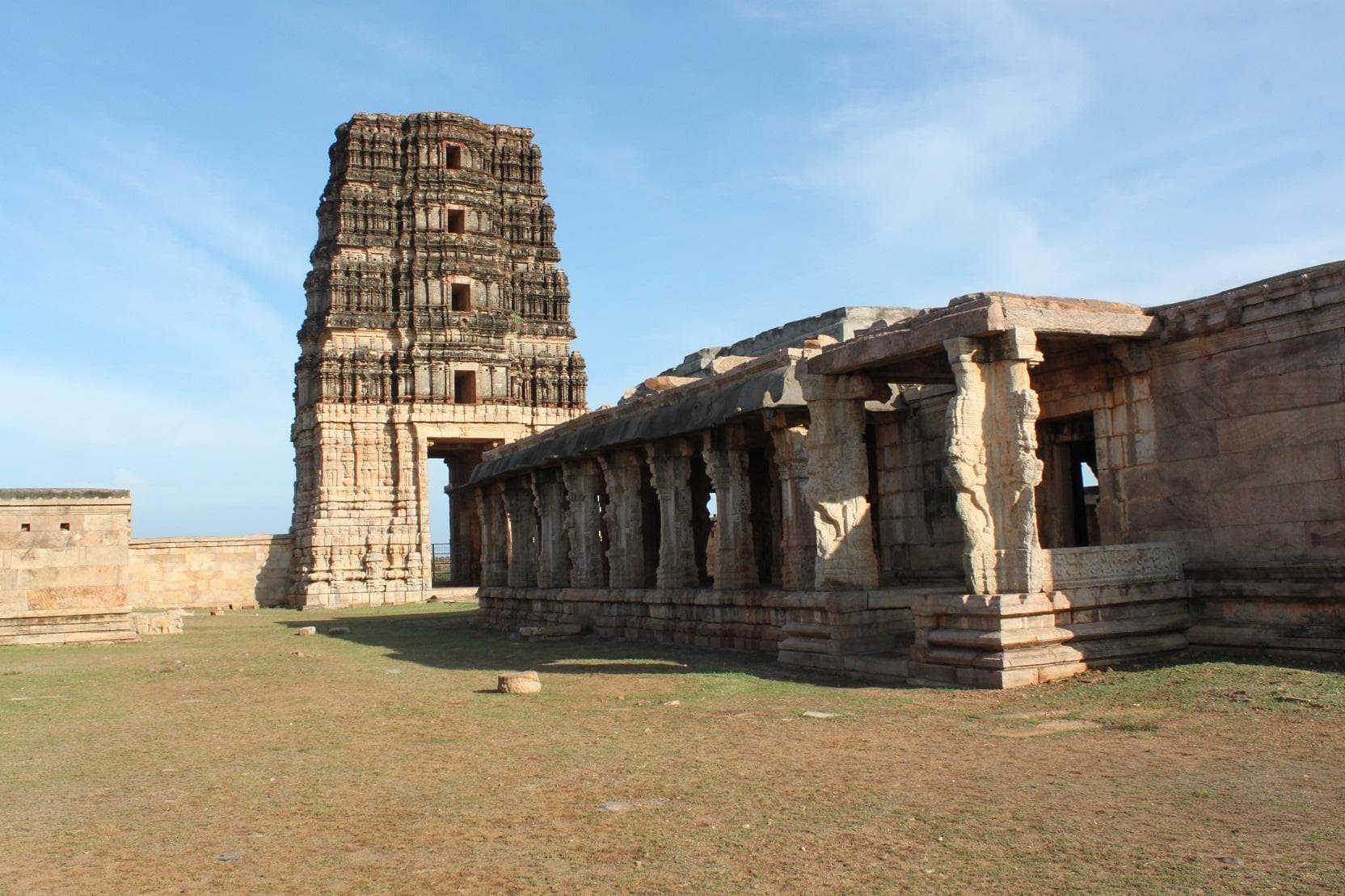
One of Gandikota's most distinctive features is the presence of different religious structures within its historic fortifications. The Raghunatha Swamy Temple, Madhavaraya Temple and Jama Masjid stand as reminders of the region's diverse architectural and religious history.
The temples display elements of traditional South Indian temple architecture, including carved pillars, decorative stonework and elaborate structural details. The Madhavaraya Temple is particularly notable for its architectural features associated with the Vijayanagara period.
The Jama Masjid, with its distinctive arches and spacious prayer area, reflects the Islamic architectural influence that became part of Gandikota during later periods of its history. Its presence alongside the temples gives the fort a distinctive architectural character.
These monuments are more than individual structures. Together, they reveal how different political powers, religious traditions and artistic influences contributed to the development of the region. Their continued conservation is important not only for preserving architecture, but also for understanding the many histories held within the fort.
A Landscape Beyond Its Walls
Gandikota is a place where the natural world and human history meet in an extraordinary way. The Pennar River's deep gorge, the weathered cliffs of the Erramala hills and the remains of the historic fort create a landscape that carries both geological and cultural significance.
Its identity lies not only in its dramatic views, but also in the stories preserved through its monuments and the history of the communities that have lived around it. Each structure and rock formation offers another perspective on the region's past.
To experience Gandikota meaningfully is to look beyond its reputation as India's Grand Canyon and recognise the importance of protecting its natural landscape and historic architecture. Its heritage deserves to be explored with curiosity, care and respect.
Share this article:
About Admin
Travel enthusiast and writer sharing stories from around the world. Passionate about discovering hidden gems and cultural experiences that inspire wanderlust.